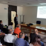
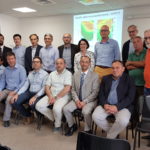
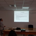
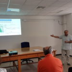
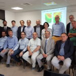
The Kick Off Meeting of the MOPRAM project took place on 30th June in Milan, at the Polytechnic of Milan (Campus Leonardo), Department of Electronics, Information and Bioengineering (DEIB). The acronym MOPRAM stands for “MOnitoring PRecipitation through a Network of RAdio Links at Microwaves”, or “MONITORING PRECIPITATION WITH MICROWAVE RADIO NETWORKS“.
field.
-
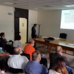
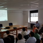
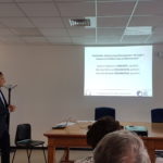
- Roberto Nebuloni (CNR), Carlo De Michele (POLIMI) and Michele d’Amico (POLIMI) presented the MOPRAM project proposed by a CNR / POLIMI consortium and funded by the CARIPLO foundation in the context of the 2016 Scientific Research call for proposals on hydrogeological instability . MOPRAM sets itself the following objectives:
a) investigate the potential of monitoring data of the microwave link network of a cellular operator (Vodafone) for the purposes of a quantitative assessment of the precipitation field with a tomographic method, through simulations and ad hoc measurement campaigns on selected areas within the Lombardy region,
b) integrate the high resolution precipitation fields obtained from the various hydrological models to verify the improvement in the estimation of water flow rates
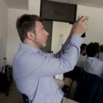
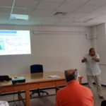
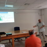
- Gianleonardo Solazzi (SIAE) illustrated a map of the density of microwave radio bridges in Lombardy. In addition, he pointed out that the sensors integrated in the radio links record other quantities (in addition to the received power) which make them potentially useful for environmental monitoring, such as temperature sensors and triaxial accelerometers.
Lorenzo Pescatori (Vodafone): it the huge amount of traffic data, in an aggregated and anonymized form in compliance with the privacy restrictions, is properly elaborated, it not only creates added value to the products of cell phone operators, but is a source of interest for society at large. The opportunity to put this information back on net in order to create further added value was highlighted. These data could also be interesting for applications related to environmental risks.
- Roberto Nebuloni (CNR), Carlo De Michele (POLIMI) and Michele d’Amico (POLIMI) presented the MOPRAM project proposed by a CNR / POLIMI consortium and funded by the CARIPLO foundation in the context of the 2016 Scientific Research call for proposals on hydrogeological instability . MOPRAM sets itself the following objectives:
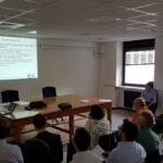
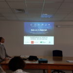
- The second part of the morning was dedicated to three presentations related to other projects on the topic of precipitation monitoring.
Marco Folegani (MEEO) presented the RainBO LIFE+ project, which proposes a platform that integrates information on the estimation of the precipitation field, with special attention to extreme events, in a hydrogeological risk management system. The objectives are a) risk mitigation (planning and prevention activities), and b) residual risk management (definition of protocols to manage the alert)
Matteo Colli and Daniele Caviglia (Univ. Genova) described a technique for monitoring the precipitation field, using low-cost sensors connected to satellite TV receivers. The reconstructed maps were presented starting from twenty of these terminals in the Genoa area and a comparison with rain gauges.
Attilio Vaccaro (MBI) presented the Nefocast project, illustrating the monitoring and data transmission platform for the new bidirectional “Smart LNB” satellite terminals (ie with a return channel from the user terminal to the satellite control center) that will replace the current one-way LNBs.
The meeting ended with a discussion between the participants, which focused on:
Critical aspects of the various types of sensors, presented by Fabrizio Cuccoli (CNIT).
Need for an integrated approach to the problem of precipitation monitoring. Using different types of sensors allows for mutual validation, thus facilitating the recognition of errors and malfunctions.
Availability for future collaborations for larger projects.